 “St. George’s Bay is an ancient floodplain created by the confluence of two great prehistoric rivers. When the land filled 30 million years ago, the valley to the south carved by one of these rivers became a deep and narrow strait. This strait provided a direct passage for fish, sea mammals and currents from the Gulf of St. Lawrence to the North Atlantic Ocean. This gateway was closed in 1955 with the construction of the Canso Causeway.”– So says one of the helpful signs posted to inform visitors about the area.
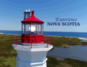
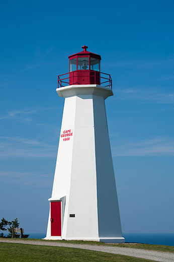
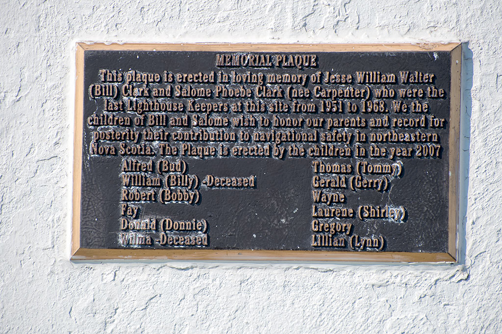
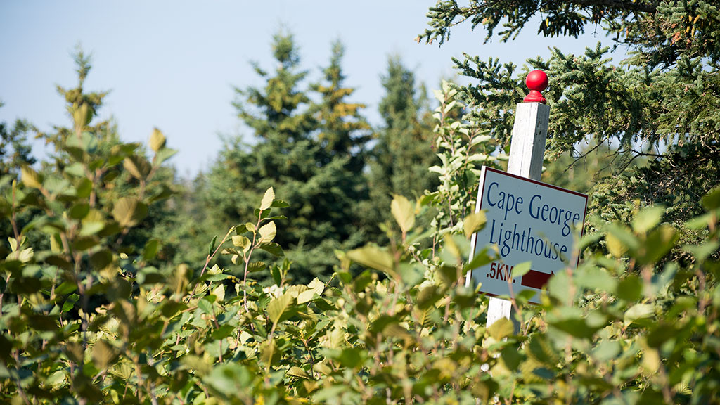
This is the third lighthouse on this location at Cape George, overlooking the Northumberland Strait, since 1861. The light sits 360 feet above sea level and the dwelling house was located where the picture below was taken. Today the grounds are kept by volunteers, and we met and spoke with one, a grandson of the last light keeper, when we where there.
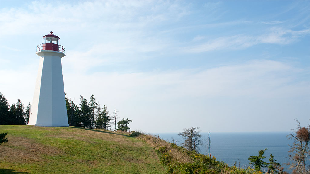
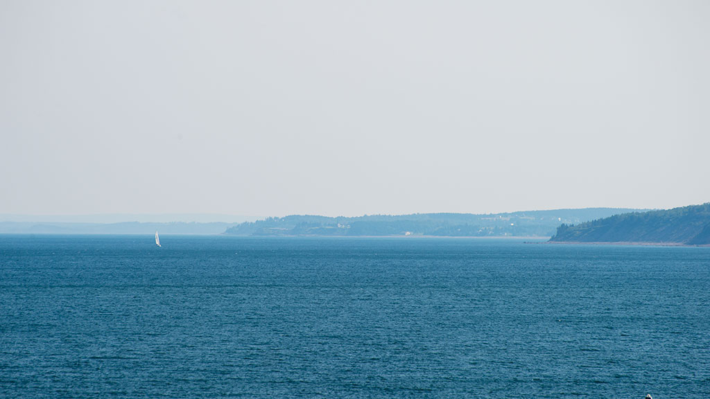
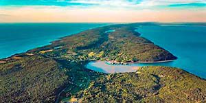
The view here is just spectacular. This was a warm, clear, spectacular summer day and we sat on the top of the cliff watching fishing boats, eagles, whales blowing – yes, you can watch whales from the land! Ahead of us in the image above is Cape Breton Island. If you are inclined to exercise, there are some wonderful hiking trails here; if not, just park at the lighthouse and enjoy a picnic on top of the world. This marked the end of our journey before returning to our cottage to rest before heading back to Ontario.
Please subscribe to this blog so we can keep track of our readers and notify you when the video of our journey will be released – Blair.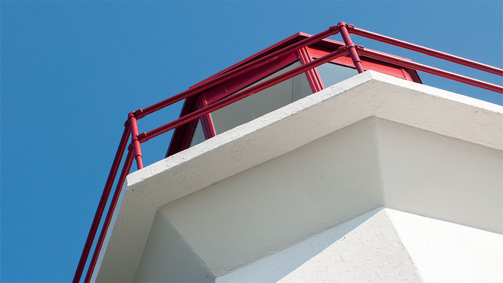
Cape George Lighthouse